Why Is the Mekong Delta the Densest River Network Region in Vietnam?
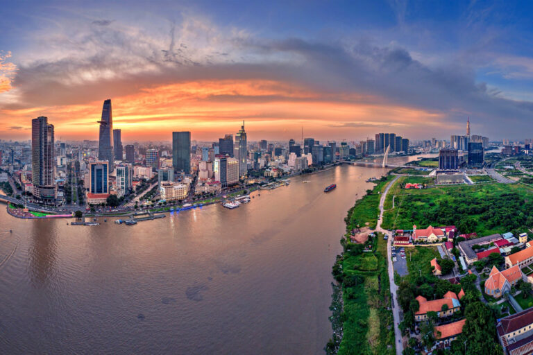
The Mekong Delta in Southern Vietnam has long been known as a true “water world,” with an intricate web of rivers and canals stretching nearly 28,000 kilometers in total. It is the region with the highest river density in the country.
What created this unique geographical feature? The answer lies in the interaction between natural forces and human intervention.
1. A “Gift” from the Mighty Mekong River
The primary reason is the presence of the Mekong River, one of the largest rivers in the world. Before flowing into the East Sea, the river enters Vietnam and splits into two main branches: the Tien River and the Hau River.
With an enormous annual discharge of around 475 billion cubic meters and extremely flat terrain, the water does not remain confined to a single channel. Instead, it naturally divides into countless tributaries and distributaries to reach the sea. According to tradition, the Mekong flows into the sea through nine mouths (hence the name “Cuu Long,” meaning Nine Dragons), forming a vast fan-shaped river system across the delta.
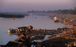
Peaceful floating villages at sunset along the Mekong.
2. Low and Flat Topography
The Mekong Delta is a relatively young alluvial plain formed by sediment deposition from rivers and the sea. Its average elevation ranges from only 0.5 to 2 meters above sea level.
Because the land is so flat and lacks natural barriers, river water easily overflows during flood season and carves out new channels. Over thousands of years, natural processes of sedimentation and erosion have created countless winding creeks throughout the region.
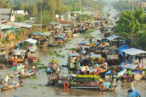
Small boats weaving through the busy waterways.
3. The Impact of Tides
The delta borders both the East Sea and the Gulf of Thailand. Strong tidal regimes-especially the semi-diurnal tides from the East Sea-push seawater deep inland along existing waterways.
The pressure from seawater pushing inland and upstream flow moving downstream creates powerful hydraulic forces. These forces erode riverbanks and expand smaller creeks into larger channels. The daily tidal cycle continuously maintains and enlarges the canal network.
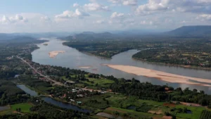
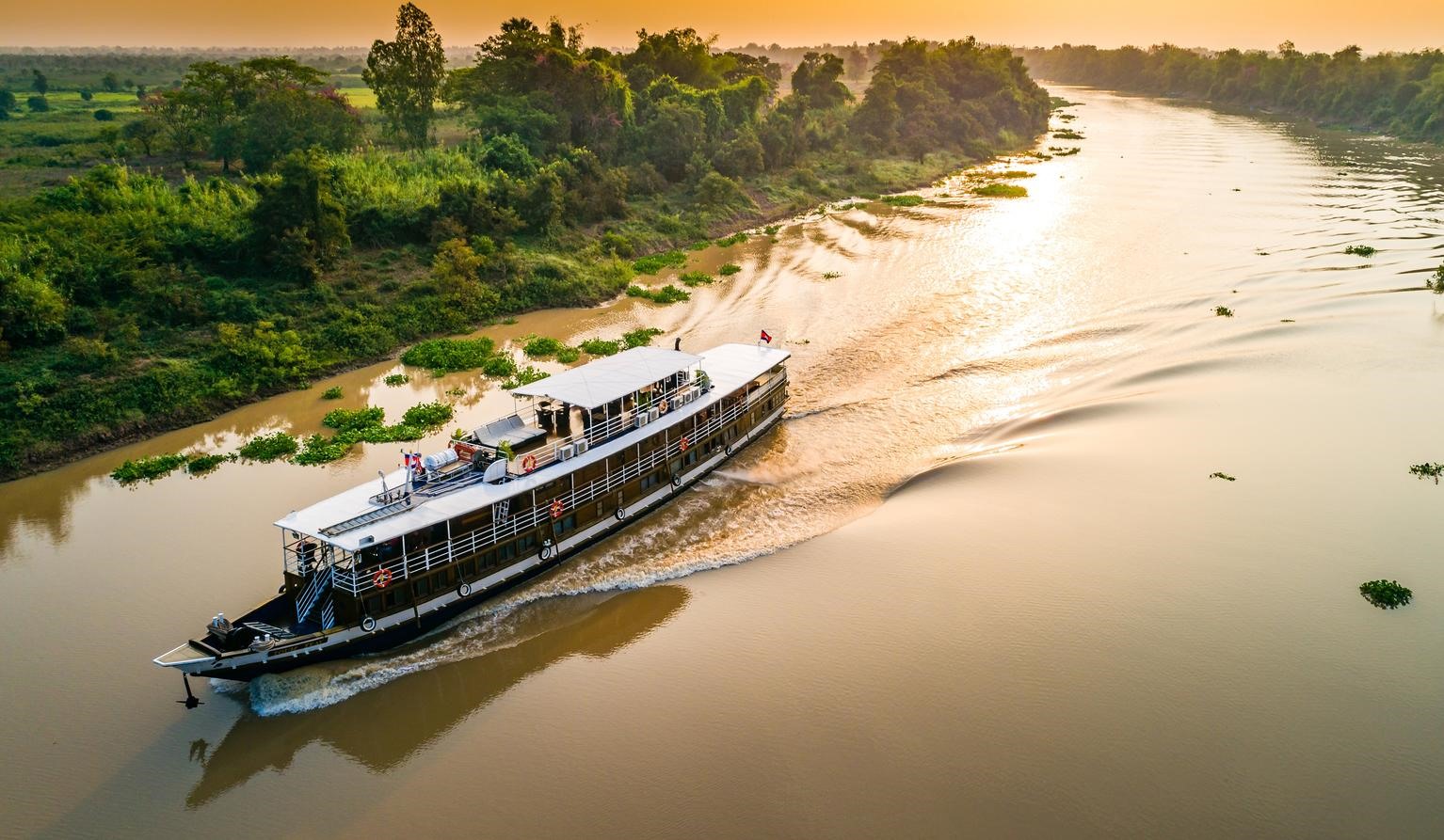
The mighty Mekong shaping life along its banks.
4. Human Achievement: The Canal System
The dense waterways of the Mekong Delta are not solely a natural phenomenon. Over more than 300 years, human efforts have significantly shaped the landscape.
To survive in this low-lying, acidic, and saline environment, local communities and feudal dynasties-particularly the Nguyen Dynasty-undertook major canal-digging projects.
-
Transportation: Before modern roads, canals were the primary “highways” for travel and trade.
-
Irrigation: Canals helped bring freshwater into fields and flush out acidity and salinity from the soil.
-
Defense and Settlement: Famous canals such as Vinh Te Canal and Thoai Ha Canal supported economic development, protected borders, and encouraged settlements along their banks.
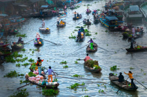
A vibrant floating market waking up with the river.
5. Tropical Monsoon Climate
The region receives high annual rainfall, ranging from 1,400 to 2,400 millimeters. Heavy rains create surface runoff that requires efficient drainage to prevent prolonged flooding. Both natural processes and human engineering have developed dense drainage systems that channel water from low-lying areas into main rivers and eventually to the sea.
The dense river network of the Mekong Delta is the result of continuous interaction: the Mekong River brings water and sediment, low terrain retains it, tides reshape and expand the channels, and human ingenuity refines the system through canal construction.
This intricate water network has shaped a distinctive river-based civilization-from stilt houses and boat transportation to floating markets-forming cultural characteristics unique to Vietnam’s southern region.